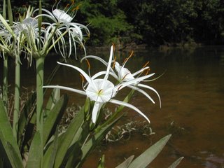
Well, I finally got around to making a trip out to the Canal Island platform. After doing all the neccesary shopping, I packed up the boat and supplies and headed for Upper Bryant Landing. Thursday was a classic spring day in the south...hot, but with blue skies and a light breeze, and the water in the river was pleasantly cool. This was my first trip heading up the river from Bryant's Landing, and my first interesting discovery was that the river had broken through one of it's bends sometime after my map was made...I still made the whole loop instead of taking the river's natural course, but I suspect that a few years from now the old path will have silted up completely. Currently, only canoes and kayaks can make it through the old way. It was a great trip for watching wildlife. On the way out, I saw Great Blue Herons, Snowy Egrets, and a couple Swallow-tailed Kites. The gator count came out to four, two on the way in, and two on the way out (although I suspect one of the ones I saw on the way out was one I'd seen the previous day. As always, it's funny to watch the turtles making heroic leaps off the high logs where they sun themselves when I approach. Unfortunatly, I found one that looked as if it had been hit by a boat propeller while coming to the surface.
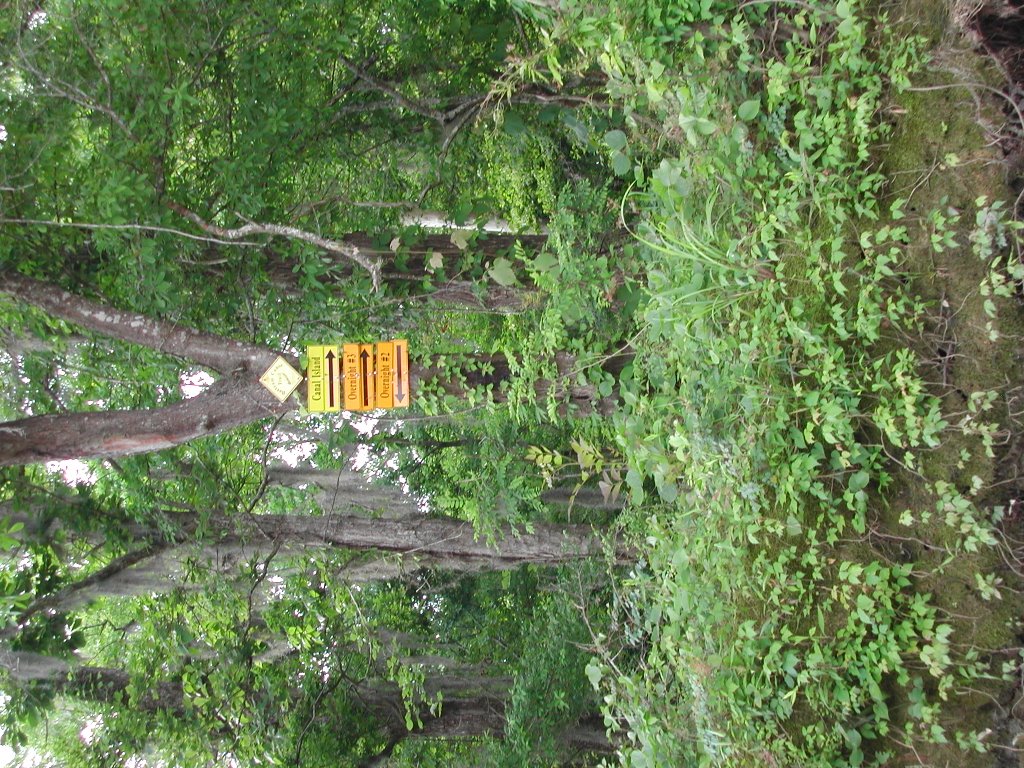
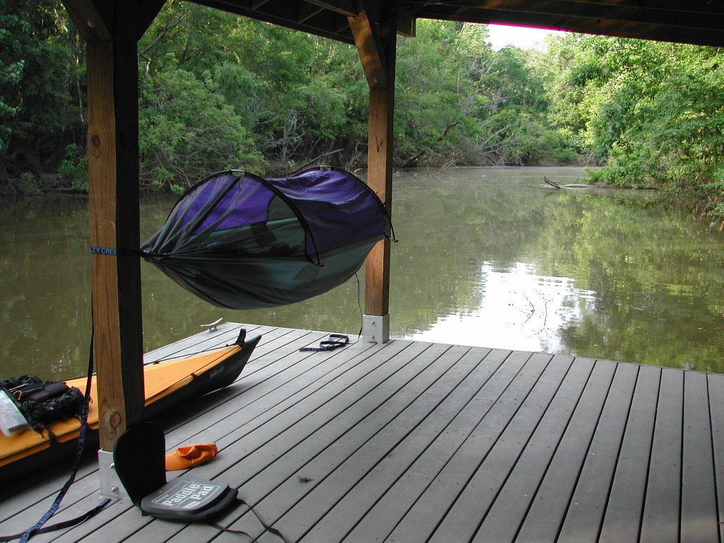
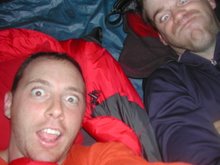
The current was with me through Tensaw Lake and Big Beaver Creek, and althoug it slowed down near Bear Creek, the approach to Canal Island platform was pretty easy and I passed under some neat arches on the way through Canal Lake. I arrived at the platform a little after 5 and made camp while I still had some daylight. This is where I discovered that I had forgotten to bring a pot for boiling water! This meant no tasty freeze-dried dinner, nor coffee in the morning. Luckily, I had bought an enamel camping mug at Wal-Mart on a whim that day. I was able to hold it over the stove to boil water and enjoyed a good meal from Oregon Freeze-dried Foods...losing only the skin on my fingertips to minor burns. Worth it though. I also discovered that my hammock, which worked flawlessly at the Dead Lake Island Platform, failed me at Canal Island. I hopped in after dark, only to find it sliding down the posts to the floor of the platform. Not the end of the world, it functions like a tent at that point, but not as comfortable as it is when suspended. It was a very loud night out in the woods...two owls were hooting at each other, something else was making loud grunting calls, and the fish were jumping like crazy (probably a result of the full moon). I was splashed several times by fish leaping next to the platform. I saw a lot of fireflys too, which I haven't seen in years.
If the water was high enough when I woke up, I had planned to paddle in a large circle, going back by way of Stiggins Lake, through Lake Slough back to the Tensaw river, then taking the shortcut through Tallapoosa Bayou back towards Upper Bryant Landing. However, I woke up to extremely low water and had to return the way I came in. The water was so low, I actually had trouble paddling back out from the Platform to the main waterways. I heard thunder regularly from the time I made my cup of coffee until I hit the water. A series of ominous clouds rolled through as I approached Tensaw Lake, and I was hit by a couple small showers. I elected to make a run straight for Upper Bryant as the forecast I had heard before I left called for thunderstorms and rain in the afternoon, and it looked as if it was going to be early. That turned out to be the right decision. I got back a little after 11, having paddled a little over 16 miles (~8 out, ~8 back), and packed up the car. Shortly after I hit the road, the rain hit pretty hard...the typical deluge that reduces visibility to zero and leaves the roads steaming.
All in all, it was a great trip, thanks especially to that enamel cup that saved me from having to survive on a squished banana and a couple granola bars!