Sunday, December 10, 2006

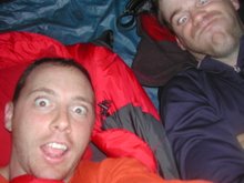
Scott & I on the Bartram Canoe Trail

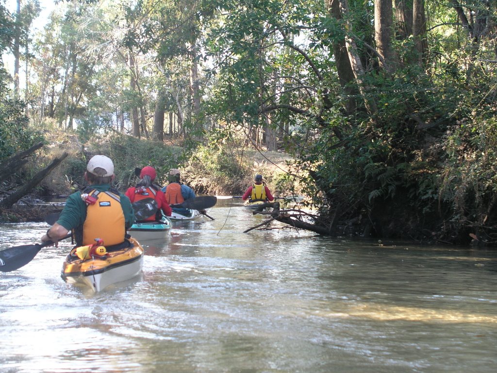
On a short notice trip, Scott and I headed for the upper delta and the Bartram Canoe Trail. We launched from Upper Bryant on Thursday afternoon and made a slow trip to the Dead Lake platforms. The water levels were decent, so we poked around some of the side channels off the Tensaw River on our way. Not much in the way of wildlife though, despite the relatively warm and humid day... just the winter birds.

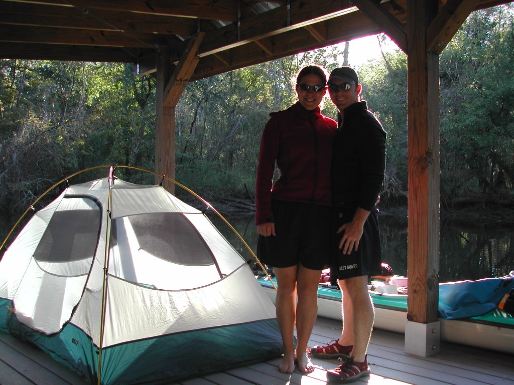
Friday night was interesting. We knew that a front was pushing through, but weren't sure how the weather would ultimately play out during the trip. We soon found out. I spent the first part of the night hanging half-way out of my 15F sleeping bag, trying to stay comfortable. Around midnight, a storm blew over the delta, giving Scott a taste of southern storms. The rain poured down, dropping down the visibility to a few feet off the platform. Gusting winds started to blow the rain sideways under the platform and into the tent. We hopped out to slide the tent to the middle of the platform before we got completely soaked. Once the storm blew over, the temperature rapidly dropped, leaving me well inside the sleeping bag and struggling to stay warm.

The next morning, warmed with Kona coffee and oatmal, we headed up Bayou Tallapoosa to the west branch of the Tensaw River. The wind and current were with us, making this a pretty easy paddle We swung by Two Rivers Point Campsite to check it out, before moving on to the Bottle Creek Indian Mounds, the site of homes and temples of Mississippian Indians from approximately AD 1200 to 1450. We hiked mounds A and B, but there are actually a number of mounds in the area (although none are as large as A and B). The link will take you to a map. I've heard, but never read, several stories that the mounds were particularly important when water levels rose to flood levels. It's believable when you see how low the lands lay and consider that Katrina brought roughly 20 feet for storm surge to parts of the Gulf Coast.

We grabbed lunch on the bank of Bottle Creek before continuing through Bayou Jessamine to the Jug Lake platform. I've seen a lot of gators in Jug Lake in the past, but there were none on this trip unfortunately. We looked closely on sunny patches and logs, but it appears there were none readily visible. It was definitely cold, so perhaps they were hidden in the muddy banks. The water level was also extremely low...probably as low as I've seen up there. We pulled out on the platform to set up camp and eat dinner.

Once the sun had set and the moon was up, we hopped back into the kayaks to do a near-full moon paddle. It was cold and very quiet as we paddled...and of course everything was in grey scale. It only took a few minutes to paddle the lake, and we proceeded into Bayou Jessamine to paddle out to the river. The lake is relatively open, but the Bayou is pretty well covered by trees. So, we paddled for several miles in ghostly moonlight. Downed trees and branches pop out suddenly in such dim light, and in the shadows you never see them...just the sudden bump as the kayaks slide over or bump off the logs (or gators...we'll never know!) at 3 knots. It's an interesting experience to paddle at night and if you think about it at the time, you wonder what it was like for the frogmen who paddled klepper folding kayaks during nighttime raids.

After another chilly night, we loaded up the boats for our last day of paddling. We left Bayou Jessamine and rejoined the Tensaw river, passing east of both Larry Island and Richardson Island before arriving at our starting point at Upper Bryant. All in all, a nice paddle covering about 25 miles over two day with a little history and what wildlife the winter scene offers.

On Sunday, we met up with Harriet, Fritz, and Bob to paddle Magnolia Springs and a little of the Magnolia River. The water up Magnolia Springs runs clear, and the current and narrow turns make for some enjoyable paddling. We paddled up as far as we could before turning back and going downriver a ways. Our return paddle gave us a brilliant view of the full moon sitting low in a light blue sky.

(all pictures come courtesy of Scott...I forgot to pull out my camera)

Sunday, November 05, 2006

Meg and I at Dead Lake Island

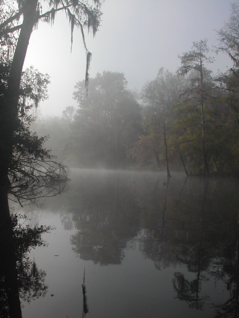
Thanks to the kindness of our friends Fritz and Harriet, who lent us their truck and kayak, Meg and I were able to camp at the Dead Lake Island platforms, something she has wanted to do for a while. After picking up the neccesary supplies, we headed to Upper Bryants Landing. We paddled west along the Tensaw River, and cut down the east side of Dead Lake Island, detouring up an unnamed bayou to add a little time to our paddle. The fall colors had started, making for a very nice paddle. We swung up to the platforms and set up camp well before sunset, enjoying a lovely freeze dried dinner as the sun went down. It would proved to be a very loud night, with owls and sundry other fowl hooting and squawking through the night. The occasional fish would jump, adding to the symphony. I think at this point, I have become accustomed to the noise, because I feel asleep pretty quickly. Meg is more used to the trumpeter swans of Cordova, so I think she was up a little later. Still, we both slept fairly well. The highlight of the trip (next to seeing Meg) was waking up to a spectacular foggy morning. It was chilly, but a good helping of oatmeal and coffee set us up nicely and after loading up the boats, we headed off for Bayou Tallapoosa. The water was very high, making Bayou T a very easy trip...no portaging over or around logs. We stopped for a quick snack where Bayou T rejoins the Tensaw to the west before backtracking. On the return trip, Meg scared a healthy size 'gator off it's perch on a sunny log. Unfortunately, we weren't close enough to see much more than a fleeting glimpse, but such is life! We ran back up the west side of Dead Lake Island and returned to Upper Bryants landing. It was a pleasant and uneventful trip, covering about 14 miles of water and giving Meg the opportunity to experience some good kayaking in the upper Delta!

Wednesday, November 01, 2006

Diving the Mighty - O

After watching the Oriskany sink, I finally got the chance to dive on her a couple weeks ago. Mike Darrah was in town for the his HH-65 transition course and had a free weekend, so we booked a trip on a charter going out Saturday morning and headed for Pensacola on Friday to stay with some friends. Saturday morning was pleasantly cool, and after finding someone kind enough to move our tanks to the boat from the rental shop (would have been nice to know before we got there!) we drove to the marina. Sixteen people showed up for this trip, which maxed out the boat and gave a good illustration of the popularity of the dive. We steamed out through Big Lagoon and Penscola pass into some mild seas. Quick peeks over the boat captains shoulder gave Mike and I the chance to exercise our deep understanding of the six-minute rule, and after playing that game for about two hours we found ourselves over the Oriskany.

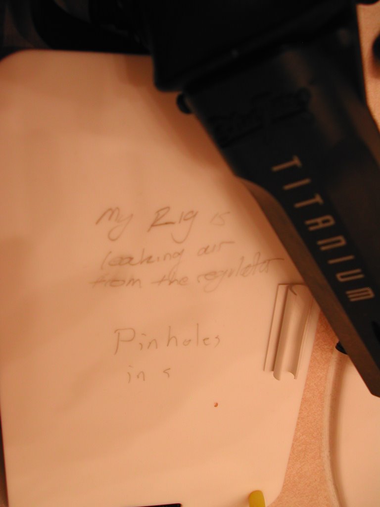
On our first dive of the day, Mike and I descended straight down to the flight deck...a max depth of about 137 feet when I placed my depth gauge on the flight deck. We spent only about three minutes there, long enough for me to realize that there was some minor problem with my primary second stage. It was giving me perfectly good air, but every breath sounded like I was breathing through a ripped diagphram, so I switched to the octopus to avoid the noise. The vis wasn't great, maybe 50-60ft, so after flying like an airplane over the flight deck, we proceeded up the conning tower. As we went we began planning our second dive...a quick descent to the bridge for some pictures and back on up to the surface. About this point, I noticed that my air was running out quicker than usual. Then I noticed that my second stage was leaking air. Never good, but we were on our way up, so I started keeping a close eye on my air. I wrote a note to Mike on my slate while we at our safety stop letting him know about my reg. He started to write back, but at that point I could see that I was about out of air and I could feel that tightening sensation that indicated I didn't have a whole lot left in the tank (thank you Navy dive training!). I signalled to Mike that I was cutting my safety stop short (about 20 seconds) and began an easy ascent for the surface, breathing slowly and calmly. I figure I had about two breaths left in the tank when I made it. Mike was writing to let me know that my high pressure hose had also starting leaking through a few pinholes. Fun.


After a nice long surface interval and some work on my sick rental reg (good reason to use your own gear when you can) Mike and I were ready to do our second dive. Given that my reg was suspect, we planned a very, very conservative second dive and I resolved to stay within a breaths length of Mike. We dropped down to the bridge, took some pictures, then worked our way up. We swam through a couple of the open compartments in the tower, took a couple more pictures with the American flag, and proceeded to the surface. I could see that my air was dropping a little more than normal, but it was manageable and we surfaced with over 1K in the tanks. It was a great day to dive, not too hot and the water was still warm, about 74F on the wreck. Apart from the regulator, it was about perfect.

Friday, October 06, 2006

Canyon Country

Saturday, September 30th, 2006 - I am pinned to the bulkhead of the plane, wedged-in so securely by two brobdingnagian gamblers I can barely reach into a cargo pocket for my well-thumbed copy of Ed Abbey's Desert Solitaire. The flight attendant walks by once we are at altitude and, recognizing my plight, offers any of us the opportunity to move to an empty row. Newtonian physics take hold and the lighter body offers the least resistance to movement. Freedom.

I am off to Canyon Country for several days of backcountry adventure in Zion National Park with my friend Scott. The plan is to rendevous with his parents in Las Vegas, and once I am off the plane, I quickly pick Scott's dad out of the crowded baggage claim area; same gait and physical character...Kramer's aren't hard to pick out of a crowd. We meet Scott near their truck and start working our way out of Las Vegas, stopping by REI to pick-up several critical items that were left behind...can't get by without a stove or iodine tablets! We stop by the Kolob Canyon Ranger Station to pick up our permits. Scott's reservations have been lost, and all we can get out of the Ranger working the desk are the words "that's gonna be a problem." Ultimately, we get our permit ("can't issue more than two days early, that's gonna be a problem." "But we are going today!"), our campsites ("might be booked, that's gonna be a problem"), and we are entered into the computer ("that's gonna be a problem!").

Saturday night finds us at the Wildcat Canyon Trailhead. We hike in for a mile or so until we find a suitable place to put up the tent for the night and celebrate with a mini-bottle of Merlot (hey, weighs less than a six-pack and drinks better warm).

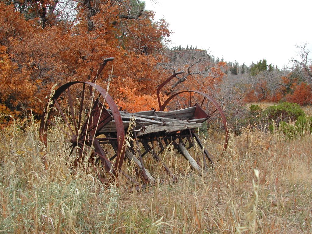
Saturday morning, we start hiking along the Wildcat Canyon Trail. Within 30 minutes we dump our packs and travel light down the Northgate Peaks spur trail. We find a squirrel guarding the stone outcrop that serves as a viewpoint...cute, but probably not in the squirrels best interest as he's visible for some distance. M. Squirrel politely freaks out and runs for cover, leaving us our first good look at canyon country. A little over a year in Mobile, AL has left me unprepared for this; massive elevation change, stunning colors both in the rock and the fall foliage, and in the background we can see the dark shapes of more canyons and peaks against the blue sky. We look on, our minds reeling. Mine ponders vertigo, but rejects it as unacceptable for a boy born in the West of Ireland and raised in the Pacific Northwest. It settles for blurting out "cool." Scott's, although raised in canyon country, is also apparently struggling after a year in Baltimore...it settles for "yeah." We enjoy the views of the Northgate Peaks and North Guardian Angel before turning back towards Wildcat Canyon Trail. Scott spies a couple deer on the trail as we hike back. Another reason I sometimes refer to him as "great white hunter." Back in our packs, we continue on the trail. Wildcat Canyon Trail has some spectacular fall colors, but it's a rolling easy trail well back from the canyon and apart from some photogenic farm equipment and an attractive Park Ranger demanding backcountry permits, there isn't much to see. We press on to our first campsite near Sawmill Springs.

Campsite 9 at Sawmill Springs is tucked down in a little hollow, sheltered but dull...something that will prove to be a theme on this trip. "Campsite with a view? That's gonna be a problem!" (I shouldn't complain, it beats the South anyday!) It is here that we learn a valuable lesson: Never buy several things that look like a bottle of iodine tablets - a mini bottle of Arizona Gunslinger Hotsauce will not purify water. We start boiling, one little pot at a time. :)

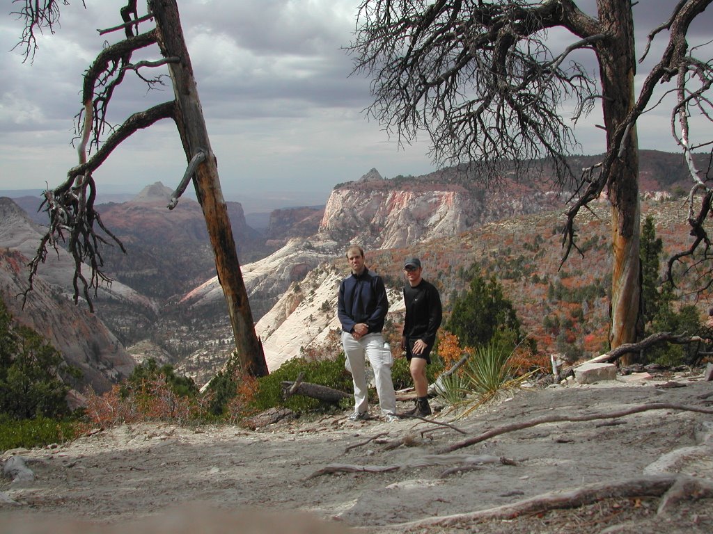
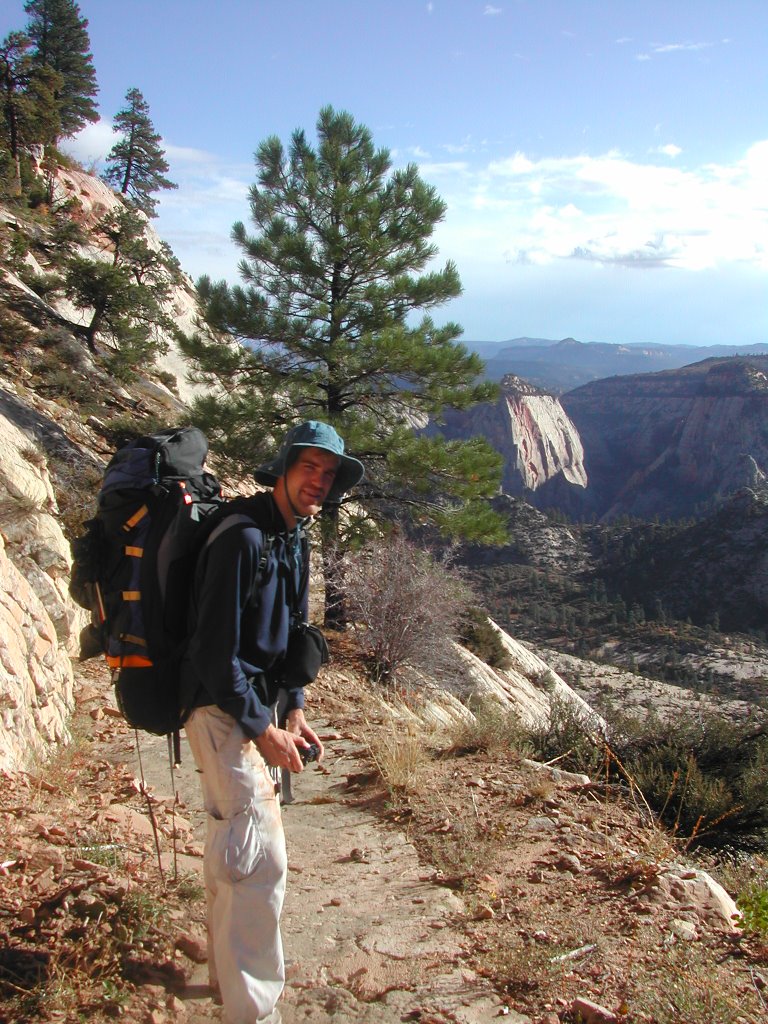
We have a deliberately slow start on Monday; it's not a long trip and the elevation change won't be that great. After boiling another dromedary's worth of water we start hiking. In short order, we find ourselves hiking along the rim. We stop to look before one of us falls off the trail.

The latter half of Monday's hike takes us back off the rim a little ways and the trail reveals some spectacular fall colors. As we hike up towards the trailhead for Telephone Canyon and the remainder of West Rim Trail we enounter the only other through-hiker on the trail. Judging by her accent, we figure she is from somewhere near that magical line where sentences stop ending in "yah," and begin ending with "eh."(**Canadian border**) At this point, we start getting intermittent rain.

Campsite 4 is slightly better than than Campsite 9, but only because a fire has cleared out the Eastern side, allowing us to see into Telephone Canyon and towards Zion Canyon. We quickly throw up the tent during a break in the weather and break out the rainfly for the first time. That night, I leave out the pots in the hope of collecting some more water. At this point, we have enough to hike out the next day, but I figure I will have to forgo my usual morning cup of coffee. (It was a fruitless gesture, water evaporates almost as quickly as it falls and I only get about a mugful...it tasted nice though)

That night, chicken curry or insufficiently purified water drags me out of my warm sleeping bag to admire the moonlight on the canyon walls and the stunning view overhead. The Milky Way looks spectacular from our vantage point.

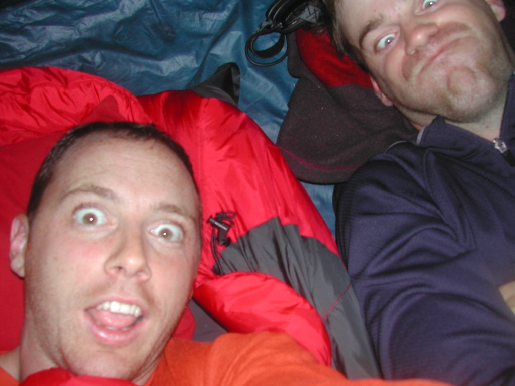
We wake up on Tuesday to thunder, LOUD THUNDER!! The weather has deteriorated in the night and we are trapped in the tent. The sound of the rain hitting the nylon tent is identical to that of corn kernels inside a microwave. As the storm passes overhead, we are treated to a lightshow as well. Looks like a fork in the same microwave. I break out the camera to record this moment. Scott observes that I can stand up in the tent. I think he's jealous.

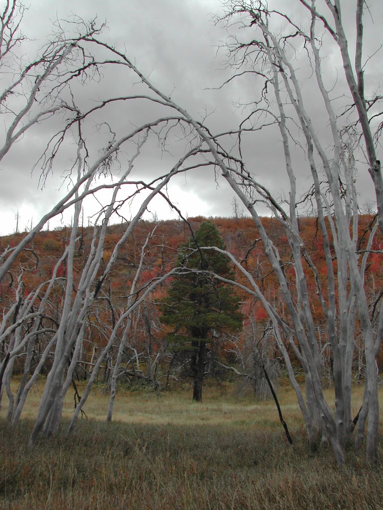
When the rain passes, we start our hike off the rim and into Zion Canyon. The topographic map doesn't do this justice. My calves will hurt for days after this descent. The view is beautiful, but our attention stays on the trail. It's not particularly difficult, but the margin for error is slim and the consequences great. As we go down, we see evidence of yet another fire. The smells on the trail are a crisp mixture of carbonized trees and new growth wet with the mornings rain. A pleasant change from the often overwhelming smell of rotting vegetation and mud I usually encounter kayaking around Mobile.


As we approach Angels Landing, the last major landmark on our route, we start to encounter the day hikers out of Zion. They leave the gentle odor of laundry detergent and body-soap as they pass by. After three days on the trail, we don't. After three days of only Scott's company, and a brief meeting with a ranger and another hiker, I get a touch of that feeling that often described by people who spend much of their lives relatively isolated and outdoors...a lingering wish that all these people would just piss off.

It is interesting to see how many different types of people are day-hiking on the trail. We pass by elderly tour groups struggling up the hill, groups of late-middle aged women cheerfully hiking with their CamelBaks, families dragging unwilling kids, college groups, and, most amusing to us, groups of intense people carrying small backpacks and wielding trekking poles like they are crossing the Artic. They seem none to happy to acknowlede our existence and I narrowly avoid being stabbed in the toes a couple times. Probably wasn't a pretty scene when they met the elderly tour group further up the trail.

When we get down into the canyon, we make our way to the little snack bar at the Zion Lodge. As I wait in line, the people behind me seem to have lost any sense of personal space. One kick in the heel too many, and I stretch my arms up for the ceiling. They retreat. Scott and I grab a seat in the shade and tear into a couple bacon cheeseburgers...three days on the trail with cereal bars and freeze-dried dinners leaves one hankering for such things!

While trapped in the tent that morning, we decided that we would attempt a slot canyon called The Subway on Thursday. Consequently, we elect to finish our hike in Zion Canyon rather than hike our way up to the East Rim Trail and the East Entrance to the park. Scott's parents kindly agree to our request to be picked up in Zion proper on Wednesday rather than the East Entrance. This allows us to be first in line on Wednesday morning to get our backcountry permit for the Subway. We put the tent up in the campground and hop on the shuttle towards The Narrows, the northern portion of Zion Canyon. We hike the mile out to the end of the paved trail and throw ourselves into the water. It feels great to be in sandals, in the river, and out of our packs. The Narrows is spectacular and we hike onwards, occasionally walking into chest deep water and tripping over rocks as the canyon narrows arounds us. We take the split at Orderville Canyon, hiking a little ways up that before the declining light forces us to turn around.

The next day we wake up well before dawn and, carrying coffee and cereal bars, we head for the backcountry desk to get our permits for The Subway. We sip coffee and watch the sunrise in the canyon while we wait. A Ranger comes out and posts the flash flood forecast, "low potential." Good. We get our permits a few minutes later.
Permits obtained, coffee drunk, and cereal bar consumed, we grab the shuttle and head to the Emerald Pools before the crowds. A sign on the shuttle encourages us not to feed wildlife, carefully describing the harmful effects on the animals. The sign features the mugshot of a deer which probably ought to be gracing a sign encouraging us not to hit wildlife with a truck. It's the kind of thing that would give a child nightmares. The emerald pools are very cool, and at the early hour, we were the only people there.


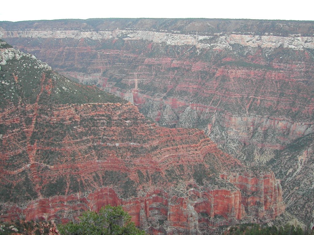
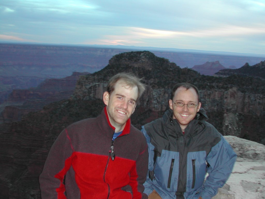
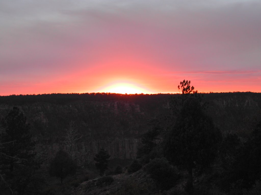
Scott's parents arrive around noon, and we head for their home in Kanab. After a quick stop for lunch, we proceed onwards to the North Rim of the Grand Canyon to watch the sunset. This brings a whole new level of incomprehensible scenery. I suspect the only way you can appreciate all of the Grand Canyon at once is from space. It truly is overwhelming in scale.
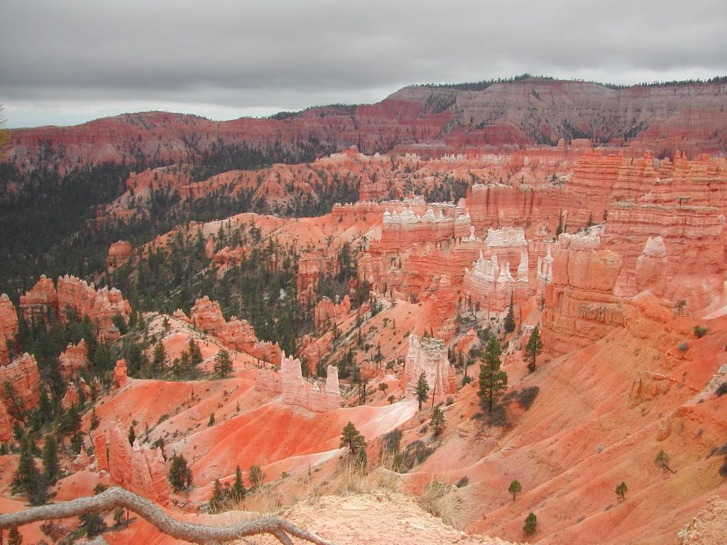
We double check the weather when we return to Kanab. The flash flood forecast has gone from low- to high-potential. The weatherman predicts our untimely demise on the ten o'clock news; describing a stormy weather system that has blown-in. Frustrated, we all but cancel our plans to hike the Subway, agreeing to wake up at 4am to check the forecast again. I struggle out of bed just after four, bleary-eyed but hopeful. Unfortunately, the 3:36am forecast warns us to go back to bed. We grab some more sleep and as a consolation prize we drive to Bryce Canyon on our way to Las Vegas. We take a short hike through the Hoodoo's. I'm enjoying seeing my third unique canyon of the trip. Sometime, I'd like to hike the under-rim trail here.

Scott drops me in Las Vegas, and I am on my way to my last campsite of the trip; Dallas/Ft Worth International Airport. The plane is nearly empty this time... Ed Abbey and I have the row to ourselves.


And the critical metrics:
Distance on the West Rim Trail: 30 miles
Average Speed: 3 mph
Max elevation: 7634 ft
Min elevation:4276 ft
Total ascent: 3339 ft