Monday, August 29, 2005
Sunday, August 28, 2005
Hurricane SITREP 3
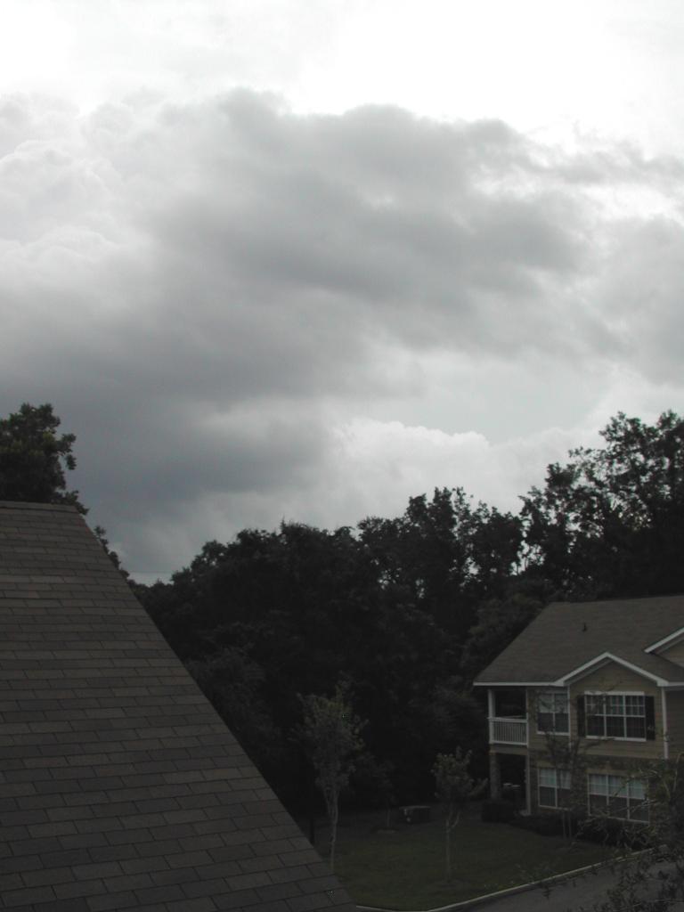
I went outside a few minutes ago, probably the most pleasant conditions I have seen since I have been here...a slight breeze, low humidity, nice and cool. Looking at the sky though, you can see the clouds very fast to the west. Still some intermittent rain too, no thunder or lightning for a while now. Off to bed now, we'll see what it's like tomorrow.
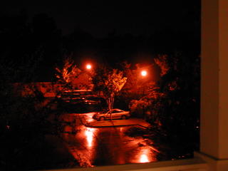
Picture is a little strange eh?

Picture is a little strange eh?

Hurricane SITREP 2
Well, the first rain bands are rolling over, some thunder and lightning. The latest storm surge reports have dropped for the Mobile Bay area...down to 12-15 feet now. Amazingly, when Camille came through in 1969, the eyewall was only 5-8 miles in diameter. This storm is about six times that size. A very scary storm.

Hurricane SITREP 1
Well, the fun is about to begin; about 12 hours to landfall. I will try to take some pictures as time goes on...right now the clouds are starting to roll in as the leading edge of the storm arrives. The wind has been blowing most of the day and is picking up now...probably about 30kts over the water, maybe 10 here with gusts up to 20+.
We're predicted to see sustained winds between 60 and 70kts and tidal surge of up to 20ft. I checked the GPS and I am at about 150 ft, plus the height of the apartment, so other than rats seeking higher ground it should be nice and dry up here.
Some good pics here:
http://www.stormtracker.noaa.gov/stormtracker-katrina.htm
Monday, August 22, 2005
Kayakin the bayou's...


This is a map and some pictures from a kayak trip from Bryants Landing to Dead Lake Island platform.
Can't wait for the weather to cool off...

Subscribe to:
Posts (Atom)